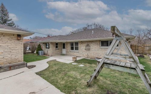
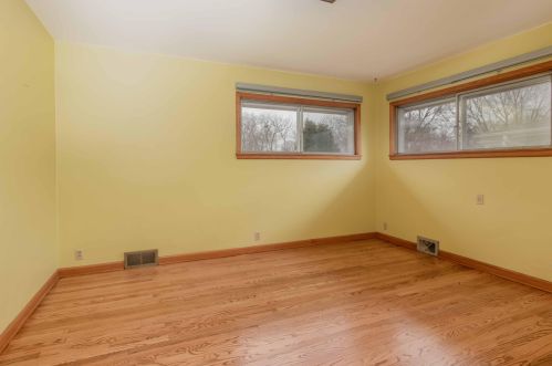
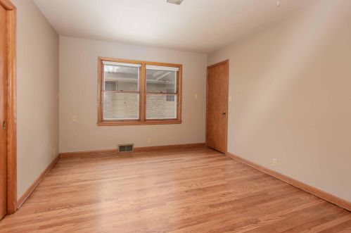
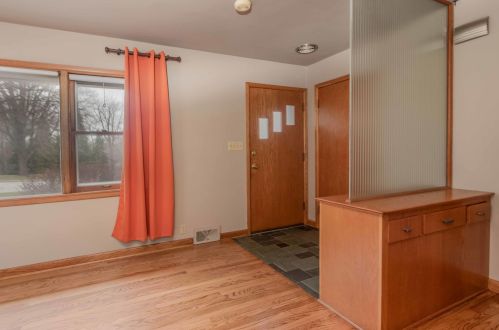
Cost estimate history
| Year | Tax | Assessment | Market |
|---|---|---|---|
| 2013 | $4,553 | $167,800 | $166,500 |
Market Activities
Kinnickinnic River Pkwy Fire Incident History
To date, we have no information about fire incidents in 2024
03 Mar 2016
Cooking fire, confined to container
Property Use —
1 or 2 family dwelling
Area of Origin —
Cooking area, kitchen
First Ignition —
Cooking materials, including edible materials
Heat Source —
Spark, ember or flame from operating equipment
30 Sep 2015
Cooking fire, confined to container
Property Use —
1 or 2 family dwelling
Area of Origin —
Cooking area, kitchen
17 Jun 2014
Outside rubbish fire, other
Property Use —
Open land or field
22 Jan 2013
Dumpster or other outside trash receptacle fire
Property Use —
Vehicle parking area
Area of Origin —
Courtyard, patio, porch, terrace
Heat Source —
Hot ember or ash
5796 Kinnickinnic Riv Pkwy incidents registered in FEMA
(Federal Emergency Management Agency)
To date, we have no information about incidents registered in FEMA in 2024
16 Jul 2003
EMS call, excluding vehicle accident with injury
Property Use —
1 or 2 family dwelling
Kinnickinnic Riv Pkwy Incidents registered in FEMA
(Federal Emergency Management Agency)
To date, we have no information about incidents registered in FEMA in 2024
12 Mar 2014
Gasoline or other flammable liquid spill
Property Use —
1 or 2 family dwelling
05 May 2009
Vehicle accident, general cleanup
Property Use —
Hospital - medical or psychiatric
16 Jul 2003
EMS call, excluding vehicle accident with injury
Property Use —
1 or 2 family dwelling
14 Apr 2002
Dispatched & canceled en route
Property Use —
1 or 2 family dwelling
Properties Nearby
| Street Address | Residens/Landlords | |
|---|---|---|
3134 Kinnickinnic Riv Pkwy, Milwaukee, WI 53215-3643 Single Family Residential
|
M Alvin, Cindy S Hansen | |
5788 Kinnickinnic Riv Pkwy, Milwaukee, WI 53219-2231 Single Family Residential
|
George J Nehrbass |
