

Cost estimate history
| Year | Assessment | ||
|---|---|---|---|
| 2016 | $563,200 | ||
| 2015 | $526,400 | ||
| 2014 | $499,000 | ||
| 2013 | $499,000 | ||
| 2012 | $499,000 | ||
| 2011 | $491,500 | ||
| 2010 | $501,500 | ||
| 2009 | $511,700 | ||
| 2008 | $511,700 | ||
| 2007 | $584,100 | ||
| 2006 | $567,100 | ||
| 2005 | $540,100 | ||
| 2004 | $401,500 | ||
| 2003 | $358,500 | ||
| 2002 | $358,500 | ||
| 2001 | $298,600 | ||
| 2000 | $272,700 | ||
| 1999 | $248,100 | ||
| 1998 | $229,600 | ||
| 1997 | $229,600 | ||
| 1996 | $218,700 | ||
| 1995 | $183,000 | ||
| 1994 | $186,700 | ||
| 1993 | $186,700 | ||
| 1992 | $192,500 |
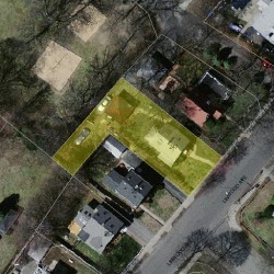
Linwood Ave Fire Incident History
To date, we have no information about fire incidents in 2025
30 Jan 2011
Building fires
Property Use —
1 or 2 family dwelling
Area of Origin —
Cooking area, kitchen
First Ignition —
Appliance housing or casing
Heat Source —
Candle
Linwood Ave Incidents registered in FEMA
(Federal Emergency Management Agency)
To date, we have no information about incidents registered in FEMA in 2025
23 Apr 2011
Arcing, shorted electrical equipment
Property Use —
1 or 2 family dwelling
29 Jul 2009
Arcing, shorted electrical equipment
Property Use —
Street, other
Properties Nearby
| Street Address | Residens/Landlords |
|---|
Schools near property
| Name | Type | Grade | Distance |
|---|---|---|---|
| Elementary school | |||
| Horace Mann Elementary School 687 Watertown St, Newtonville, MA 02460 617-559-9510 | Public | K-5 & ungraded | 0.4 |
| Lincoln-Eliot Elementary School 191 Pearl St, Newton, MA 02458 617-559-9540 | Public | K-5 & ungraded | 0.76 |
| Middle school | |||
| F A Day Middle School 21 Minot Place, Newtonville, MA 02460 617-559-9100 | Public | 6-8 & ungraded | 0.24 |
| High school | |||
| Newton North High School 457 Walnut Street, Newtonville, MA 02460 617-559-6400 | Public | 9-12 & ungraded | 0.98 |